Two consecutive western disturbances likely to trigger wet spell
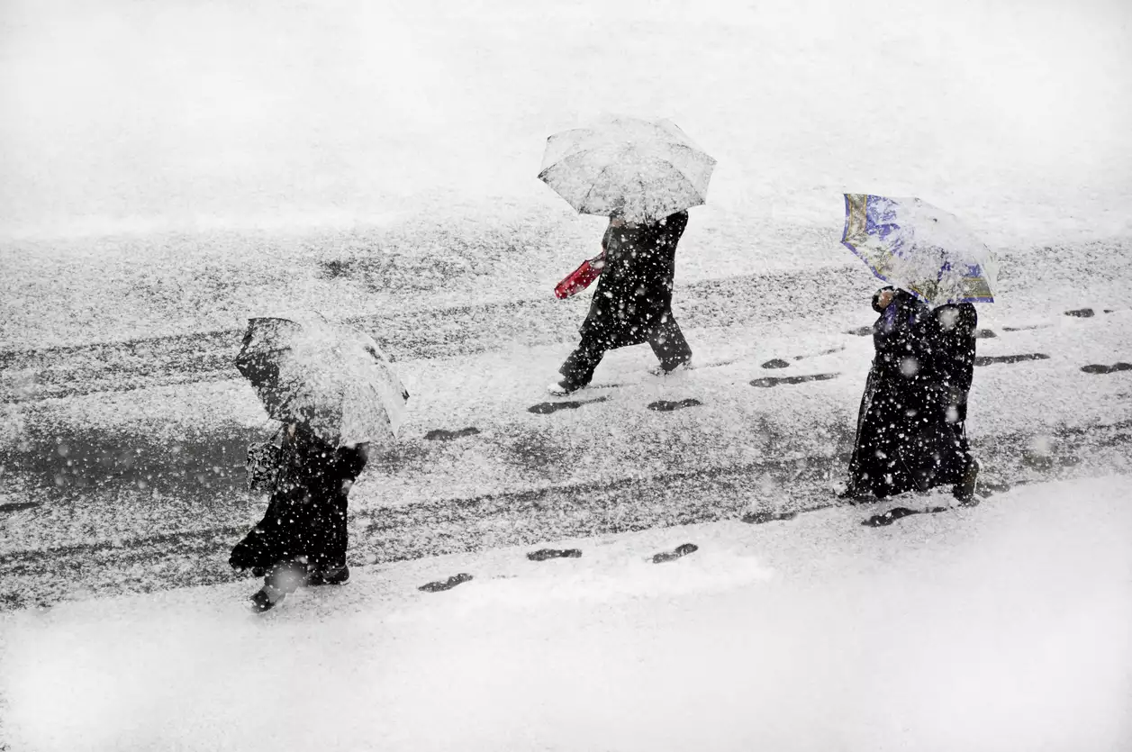
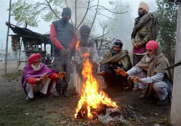
Shimla: The long and severe dry spell in the state is likely to come to an end over the next few days. The weather department has issued a yellow alert for one or two spells of heavy snowfall/rain at isolated places in eight districts for 4-5 days from January 30. It’s the first alert for heavy snow/rain this winter. Having endured one of the driest winters this season, the people would be more thrilled than concerned by this alert.
- As per the weather department, two consecutive western disturbances will trigger rain/snow of light to moderate intensity from late January 30/31 and the subsequent two-three days
- Shimla city and adjoining areas are also likely to receive a spell of heavy snow/rain in these four-five days. Shimla has seen negligible snow in the last two years
- As per weather department officials, the coming western disturbances are looking stronger than those that hit the Himalayan region earlier in the month
As per the weather department, the two consecutive western disturbances will trigger rain/snow of light to moderate intensity from late January 30/31 and the subsequent two-three days. During this precipitation, some places in the districts of Lahaul-Spiti, Kinnaur, Chamba, Kullu and higher reaches of Mandi, Kullu, Shimla and Sirmaur are likely to get one or two spells of heavy rain and snowfall. Shimla city and adjoining areas are also likely to receive a spell of heavy snow/rain in these four-five days. Shimla has seen negligible snow in the last two years.
As per weather department officials, the coming western disturbances are looking stronger than those that hit the Himalayan region earlier in the month. Those western disturbances petered out by the time they hit the Himalayan region. The approaching western disturbances, though, are “very likely” to cause precipitation across the state.
Everyone is looking forward to a good spell of snow and rain. Apart from adversely affecting crops and fruits and tourism, the dry spell has even caused a problem of drinking water at several places. The water level in rivers and rivulets has receded enough to hit the power generation.
During this period, occasional thunderstorm/lightning is likely in lower hills/plains and gusty wind conditions are likely at isolated places in mid and high hill areas. The weather department has warned of disruptions of essential services such as water and electricity, communications and related services once the precipitation starts. The visibility is likely to decrease, creating difficulty to commute.
***********************************************************************
Readers


